Search

Projects

Developing Marine Spatial Planning (MSP) tools for Turks and Caicos


Key Facts

FUNDING SCHEME ICON
FUNDING SCHEME
Darwin Plus
VALUE ICON
VALUE
£293,100
WHERE ICON
WHERE
Turks and Caicos Islands, Falkland Islands

Summary

Through an innovative integrated, stakeholder-led approach - connecting science and communities, this project builds a Territory to Territory partnership between SAERI in the Falklands Islands and DECR in the Turks and Caicos Islands (TCI) to Develop Marine Spatial Planning (MSP) tools for TCI to feed into long-term planning and decision-making in the marine environment.
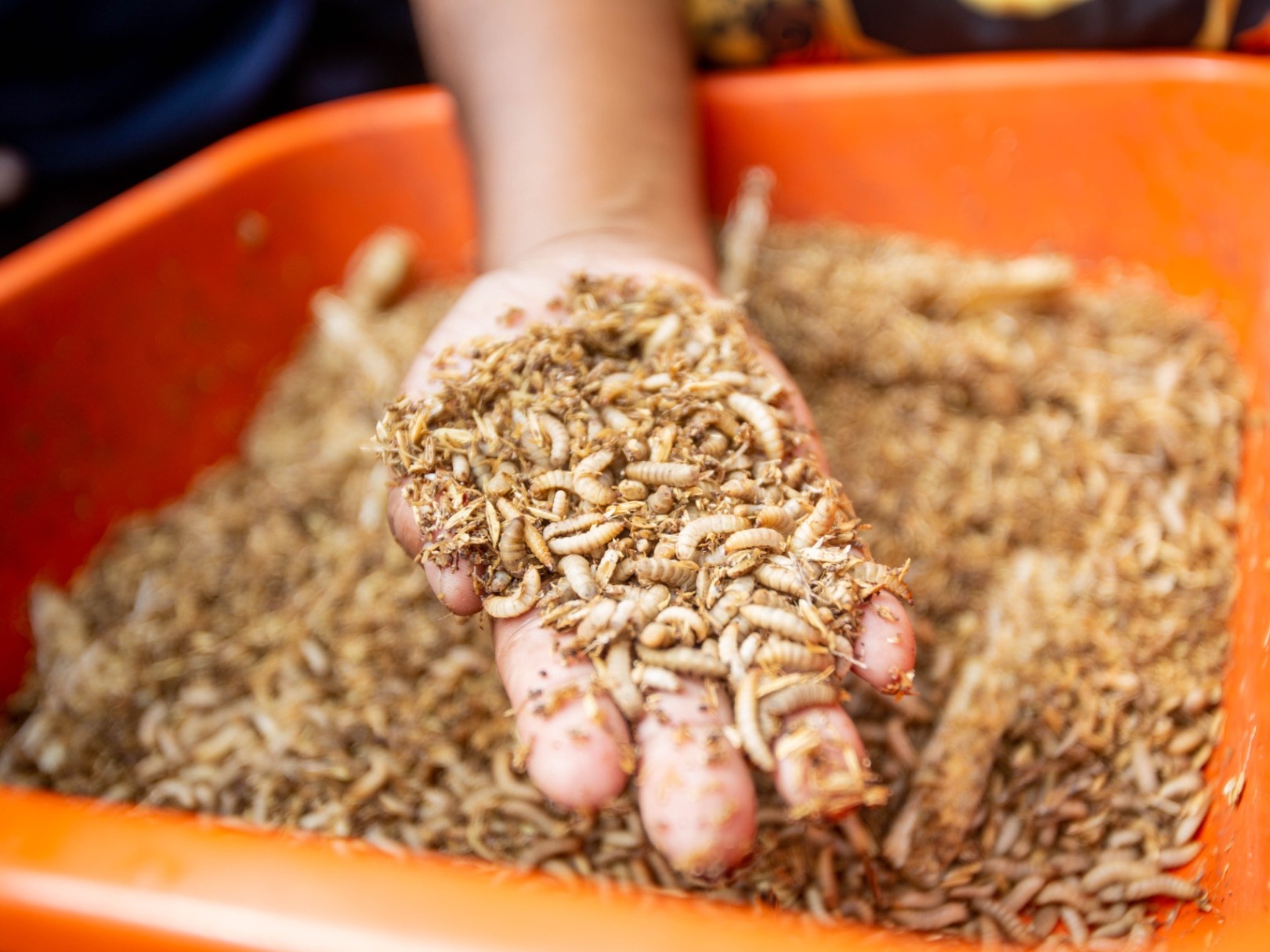
 
Status Completed
Reference DPLUS094
Round 7
Start 01/04/2019
End 31/10/2021

Project Leader


Project Partners
Department of Environment and Coastal Resources, eftec


Regions
UKOT

Biomes
MARINE, MARINE COASTAL, ISLAND BIODIVERSITY

Production
FISHERIES

Threats To Biodiversity
OVER EXPLOITATION

Broad Approches
ECOSYSTEM CONSERVATION, ECOSYSTEM APPROACH, GOODS SERVICES, GENERAL MEASURES

Specific Tools
PARTICIPATORY, CEPA, MONITORING, PROTECTED AREAS, NBSAP

Countries
Turks and Caicos Islands, Falkland Islands

Documents:
Download: Final Report - DPLUS094 FR - 16/03/2023

Download: Annual Report - DPLUS094 AR2 - 11/08/2021

Download: Half Year Report - DPLUS094 HYR2 - 03/02/2021

Download: Annual Report - DPLUS094 AR1 - 26/08/2020

Download: Half Year Report - DPLUS094 HYR1 - 26/08/2020

Download: Application Form - DPLUS094 App - 09/10/2019