M4S: Monitoring for seagrass conservation through a participatory Open-mapping approach
Key Facts
FUNDING SCHEME Innovation
VALUE £145,315
WHERE Timor-Leste
Summary
The Monitoring for Seagrass Conservation through a Participatory Open-mapping Approach (M4S) project will develop a novel participatory open-mapping approach with coastal communities in Metinaro, Timor-Leste to identify, protect and conserve seagrass ecosystems. Humanitarian OpenStreetMap Team (HOT) will partner with Konservasaun Flora e Fauna (KFF) to engage local communities to learn about the benefits of seagrass conservation, collect data about the status of current ecosystems and create drone imagery and open mapping tools to help monitor them.
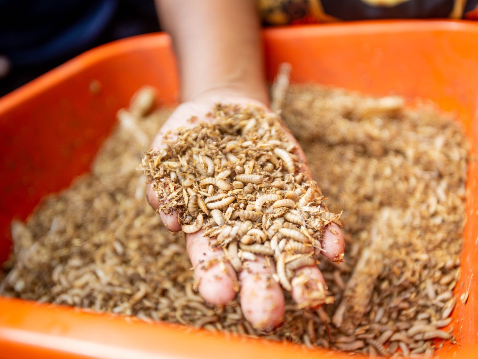
An innovative approach to agriculture in Madagascar enables communities to build climate-adaptive food systems while reducing pressure on biodiversity.